Mapping and geodata software supporting a number of formats which allows users to analyse, publish and distribute maps.
TNTatlas is a freeware geospatial viewer app and 3D editor, developed by MicroImages, Inc. for Windows.
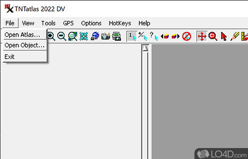
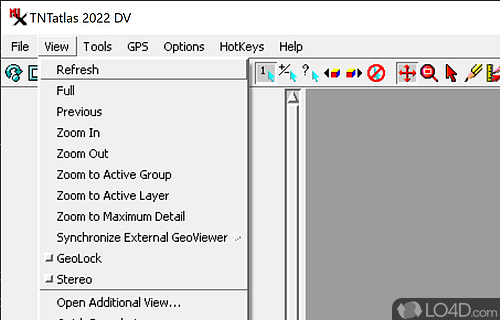
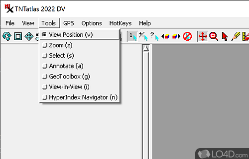
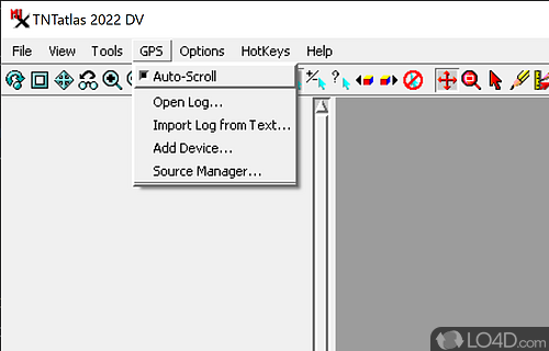
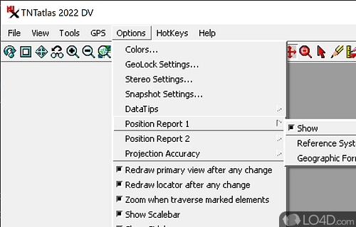
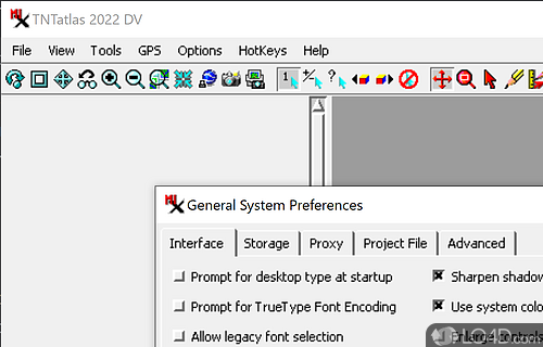
The download has been tested by an editor here on a PC and a list of features has been compiled; see below. We've also created some screenshots of TNTatlas to illustrate the user interface and show the overall usage and features of this geospatial viewing program.
Geodata viewer that lets you publish and distribute maps and geospatial data
Free geodata viewer that lets you publish and distribute your maps and geospatial data from a single geodata file to complex map layouts prepared using TNTmips.
TNTatlas puts you into the publishing and distribution business. Your geospatial data can be collected, organized, and distributed to any target audience.
TNTatlas lets you display massive sized geodata and will directly display numerous file formats including shapefiles, GeoTIFF, JP2, PNG, MrSID, DXF, and DWG.
Features of TNTatlas
- 3D visualization: Explore 3D data in a dynamic environment.
- Coordinate systems: Work with multiple coordinate systems.
- Databases: Access and query databases.
- Geocoding: Find locations and addresses.
- Geoprocessing: Run powerful geoprocessing tools.
- Map projections: Reproject data on the fly.
- Mobile maps: Export maps for mobile devices.
- Plug-ins: Extend TNTatlas with custom plug-ins.
- Print maps: Design and print maps to share.
- Projections: Transform and project data.
- Raster data: View, analyze and manipulate raster datasets.
- Scripting: Automate tasks with scripting.
- Symbology: Create custom symbols and styles.
- Vector data: Visualize, edit and create vector data.
- Web mapping: Create interactive web maps.
Compatibility and License
TNTatlas is provided under a freeware license on Windows from 3D design with no restrictions on usage. Download and installation of this PC software is free and 2022.20221130 is the latest version last time we checked.
What version of Windows can TNTatlas run on?
TNTatlas can be used on a computer running Windows 11 or Windows 10. Previous versions of the OS shouldn't be a problem with Windows 8 and Windows 7 having been tested. It comes in both 32-bit and 64-bit downloads.
Filed under:

